
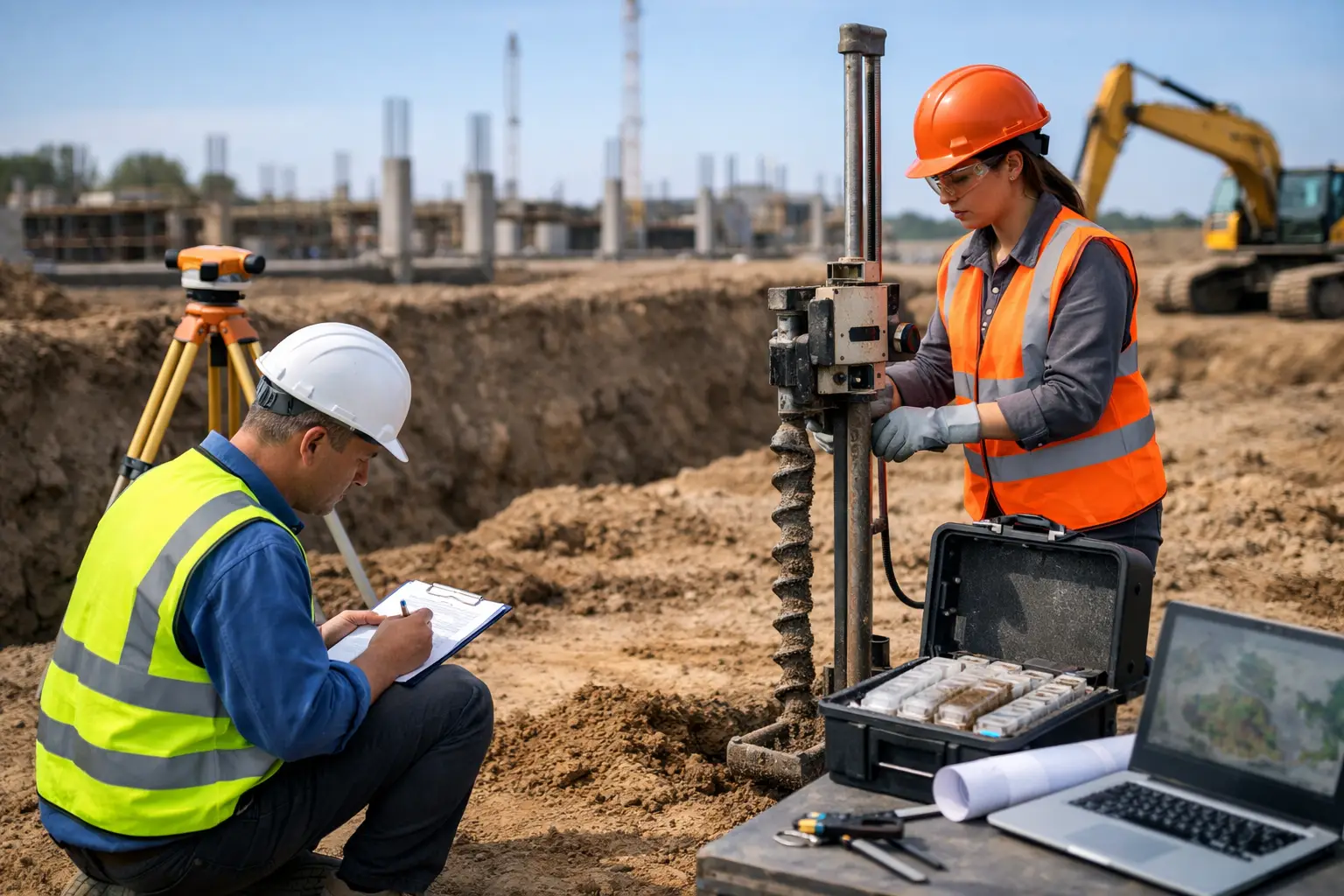
A site can appear ready for construction and still carry conditions that affect foundation design, drainage performance, utility routing, authority approvals, and project cost. A civil engineering site investigation gives the project team verified information before design assumptions become permit drawings, procurement commitments, or site problems. For developers, tenants, and property owners, this early work is often the difference between a controlled delivery plan and an expensive redesign after work has started.
The scope should match the project. A small fit-out within an existing building will require a different investigation from a new villa, warehouse, restaurant with external works, or mixed-use development. The objective remains the same: establish the physical and regulatory facts that will influence what can be built, how it will be approved, and what it will cost to deliver.
What a Civil Engineering Site Investigation Establishes
Site investigation is not limited to a soil report. It is a coordinated assessment of the land, existing infrastructure, site access, levels, drainage paths, neighboring conditions, and available records. The result should provide a dependable basis for civil design, architectural coordination, MEP routing, authority submissions, and construction planning.
For a new-build project, the investigation commonly starts with a topographic survey. This records site boundaries, existing ground levels, structures, roads, walls, visible services, and physical constraints. Accurate levels are essential. A minor difference between assumed and actual elevations can affect finished floor levels, ramp gradients, stormwater flow, external paving, and connections to public infrastructure.
Geotechnical investigation then examines the subsurface. Boreholes, trial pits, laboratory testing, and groundwater observations can identify soil strata, bearing capacity, settlement potential, rock depth, aggressive soil conditions, and groundwater risks. Structural and civil engineers use this information to select appropriate foundation solutions and to assess whether excavation, dewatering, shoring, or soil improvement may be required.
Existing utilities require equal attention. Water, sewer, stormwater, electrical, telecom, and fire service routes may cross a site or run close to proposed work. Records are useful, but they should not be treated as complete confirmation. Physical verification, survey information, and coordination with relevant utility providers help prevent conflicts that can stop excavation or force late changes to the layout.
Why Early Investigation Protects Cost and Approval Programs
Many project delays begin with an assumption made before the consultant had enough site information. A planned drainage connection may sit at the wrong level. A required fire access route may be constrained by an existing boundary wall. The available sewer route may not support the proposed discharge arrangement. These issues are far less costly to resolve during concept design than after drawings are submitted or contractors are mobilized.
In Qatar, site conditions and external works requirements must also be considered alongside authority expectations. Civil design may need to demonstrate safe access, grading, drainage, service connections, and coordination with surrounding infrastructure. Depending on the project, requirements from MMUP, Civil Defense, QCDD, utility providers, and other authorities can influence the documentation needed for approval.
An investigation does not guarantee that every approval question disappears. Authorities may request additional clarification based on project use, location, or network capacity. However, it gives the design team the evidence needed to prepare coordinated responses rather than revising the project under time pressure.
Early findings also improve budget reliability. If rock excavation, utility diversion, retaining works, unsuitable fill, or drainage upgrades are likely, these items can be addressed before tender. This allows owners to compare options based on realistic costs instead of accepting change orders caused by conditions that should have been identified earlier.
The Core Areas a Site Review Should Cover
A disciplined investigation considers each area in relation to the proposed development, not as a disconnected checklist.
Ground conditions and foundations
The geotechnical scope should be proportionate to the building type, loading, footprint, and expected excavation depth. A low-rise structure may require a straightforward assessment, while a project with basements, heavy equipment, deep pits, or significant retaining walls needs more detailed analysis. The report should provide usable design parameters and clear recommendations, not only raw test results.
Groundwater is particularly relevant where excavation levels are low or where water-sensitive construction is planned. Its presence can affect construction methodology, waterproofing design, dewatering requirements, and long-term durability. Soil chemistry may also influence concrete specification and corrosion protection for buried elements.
Levels, drainage, and external works
Water follows actual levels, not conceptual drawings. The civil engineer uses survey data to design site grading that directs surface water away from buildings, prevents ponding, and maintains safe pedestrian and vehicle movement. Drainage design must account for roofs, paved areas, landscaped zones, discharge points, and the capacity or availability of approved connections.
This is especially significant for hospitality, retail, and commercial sites where entrances, loading zones, parking areas, and customer access must remain operational. A poor level strategy can create trip hazards, flooding at door thresholds, inaccessible ramps, or repeated maintenance issues after handover.
Utilities and service capacity
A utility review should identify both the location of existing services and the practical feasibility of proposed connections. Capacity, invert levels, easements, clearance requirements, and access for maintenance can all affect design decisions. Civil and MEP coordination is essential because a change in electrical demand, plumbing layout, fire protection requirement, or kitchen operation can alter service needs beyond the site boundary.
For renovation and fit-out projects, hidden services can be a material risk. Existing drawings may be outdated, and modifications completed by previous occupants may not be fully documented. Site verification should therefore be treated as part of design due diligence, not an administrative task.
Boundaries, access, and neighboring conditions
Boundary confirmation protects against avoidable disputes and layout errors. The project team should understand legal boundaries, physical walls or fences, adjacent building conditions, road access, rights of way, and any constraints on construction logistics. Where excavation or structural work is close to neighboring assets, condition surveys and protection measures may be necessary.
Access should be assessed from both an operational and a construction perspective. A site may support customer access but still be difficult for concrete trucks, cranes, material deliveries, or emergency vehicles. Resolving this early supports realistic sequencing and safer site management.
Turning Findings Into Buildable Decisions
The value of investigation depends on how findings are used. Reports should be translated into coordinated decisions across architecture, civil engineering, structural design, and MEP systems. For example, a recommendation to raise finished floor levels may affect entrance detailing, accessibility, façade interfaces, landscape levels, drainage falls, and utility connection depths.
This is where fragmented consultancy teams can create risk. If one party reviews the ground report, another produces the architectural layout, and a third designs external services without active coordination, conflicts can remain hidden until construction. A single coordinated team can test design options against site evidence before issuing drawings for approval or tender.
Not every condition requires the most expensive solution. If poor near-surface soil is identified, the appropriate response depends on the project loads, program, excavation depth, and life-cycle requirements. Options may include adjusting foundation type, removing and replacing material, improving the ground, or revising the building layout. The right choice is the one that balances safety, compliance, cost, and schedule with verified site data.
When the Investigation Should Begin
The most effective time to begin is before the layout is fixed and before authorities are engaged with detailed submissions. A preliminary desktop review and site walk can identify immediate constraints during feasibility. Survey, geotechnical, and utility investigations can then proceed in parallel with early design development.
Waiting until permit drawings are nearly complete creates unnecessary pressure. If a key finding changes the building position, finished levels, drainage approach, or service strategy, multiple disciplines may need to revise their work. Early investigation supports faster decisions because the design is still flexible.
For occupied premises, the investigation also needs to be planned around business continuity and access restrictions. Intrusive testing, utility tracing, and surveys should be scheduled carefully, with clear permissions, safety controls, and communication to building management or tenants.
A Clear Brief Produces Better Information
Owners can improve the process by giving the consultant a clear project brief from the outset. Intended use, anticipated loading, basement or pit requirements, external works, future expansion, operational constraints, and target approval dates all influence the investigation scope. A vague request for a “site report” may produce information that is technically valid but insufficient for the decisions ahead.
Desentral Engineering Qatar approaches site due diligence as part of coordinated project delivery, connecting verified conditions to civil design, authority documentation, and execution planning. This reduces the chance that a site issue becomes a permit delay or construction variation.
Before approving a layout, committing to a lease, or releasing a contractor to mobilize, ask whether the project team has confirmed the conditions below ground, at the boundary, and beyond the site connection points. That answer will shape the confidence behind every later decision.